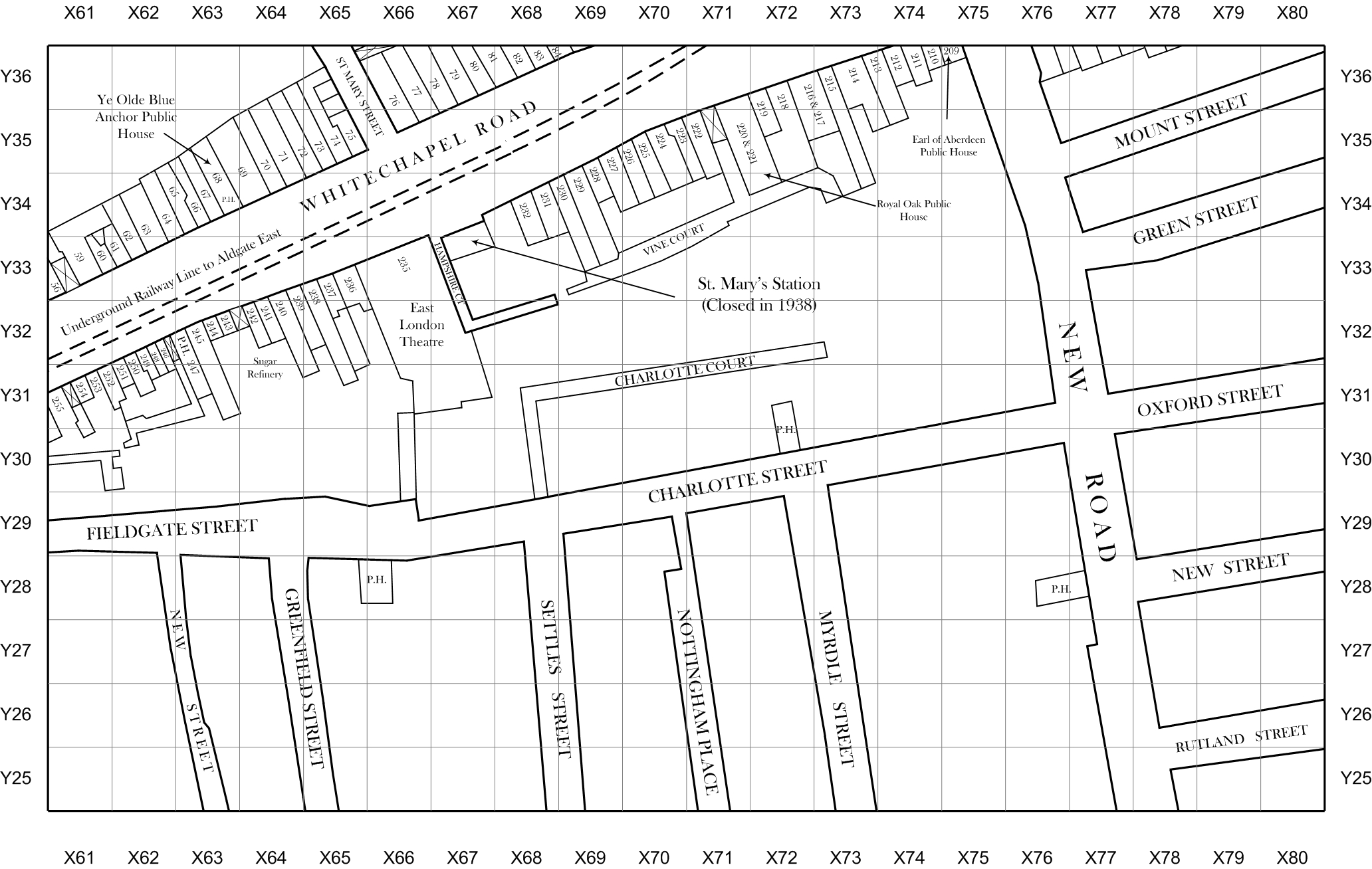
Jack the Ripper map of Spitalfields and Whitechapel 1888, ISBN 978-0-9571990-0-2
Here we present a brand new, high resolution map of the East End of London from 1888, the time period when Jack the Ripper terrorised London
This is a highly detailed map, showing more information than any previous map ever produced.
Map Plate 14
Recent Comments